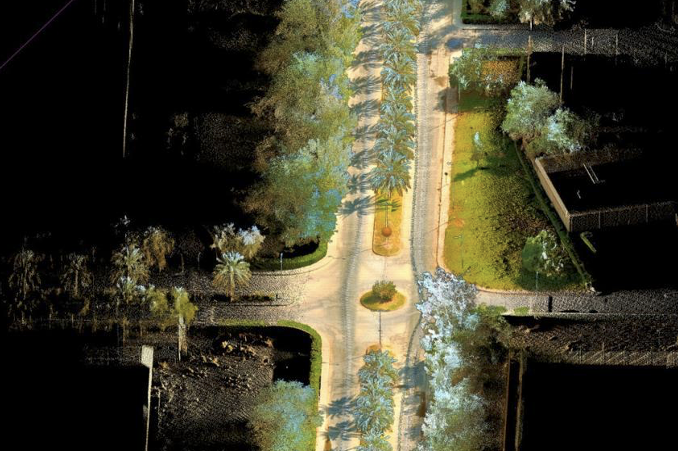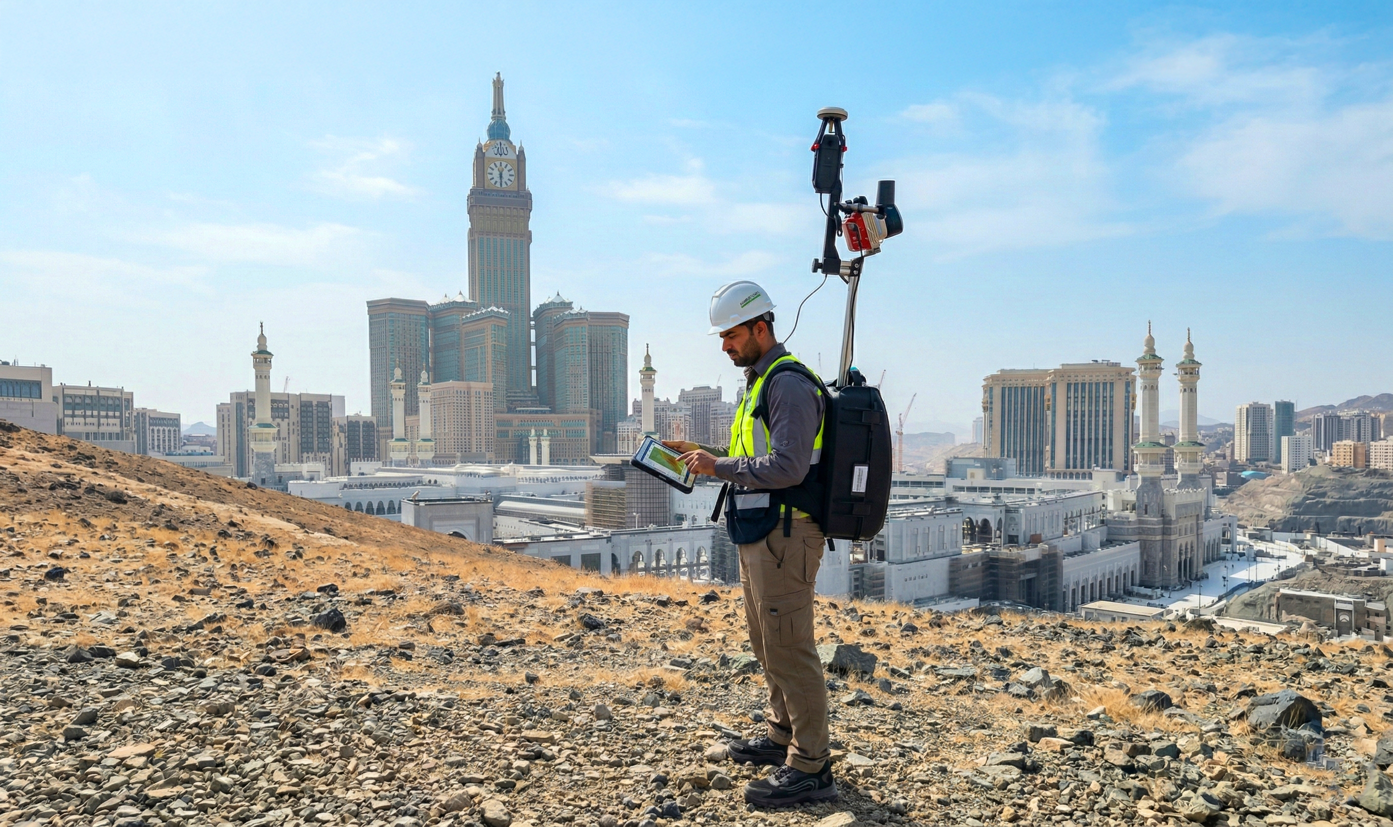


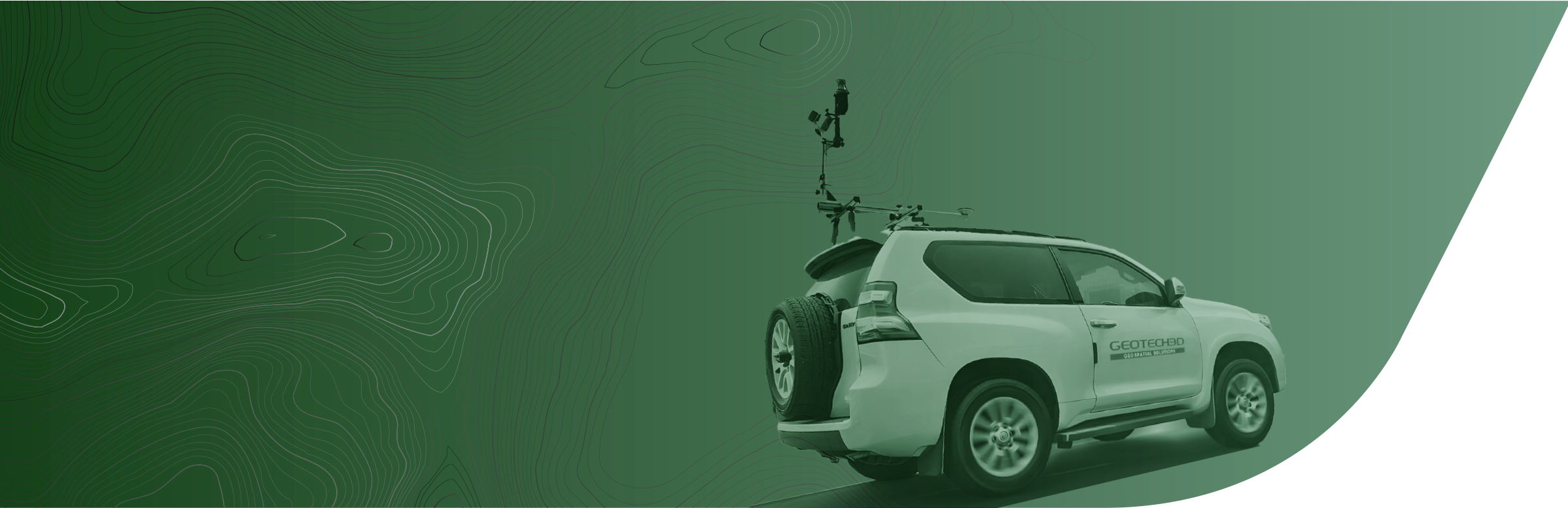
Geotech 3D offers Mobile Mapping Services that utilize advanced sensors to capture comprehensive geospatial data e iciently. This technology generates high resolution, dense 3D point clouds, and high-resolution 360º panoramic images of both indoor and outdoor environments. Our services specialize in 3D City Mapping, urban data capture, and topographic terrain mapping. By integrating this high-accuracy data, we provide insights for due diligence studies, design stages and suitability analysis for mega projects, ensuring operational excellence, agility, and precision in every development project we lead across the entire region.

3D POINT CLOUD, 3D MODEL, 360º PANORAMA IMAGES.

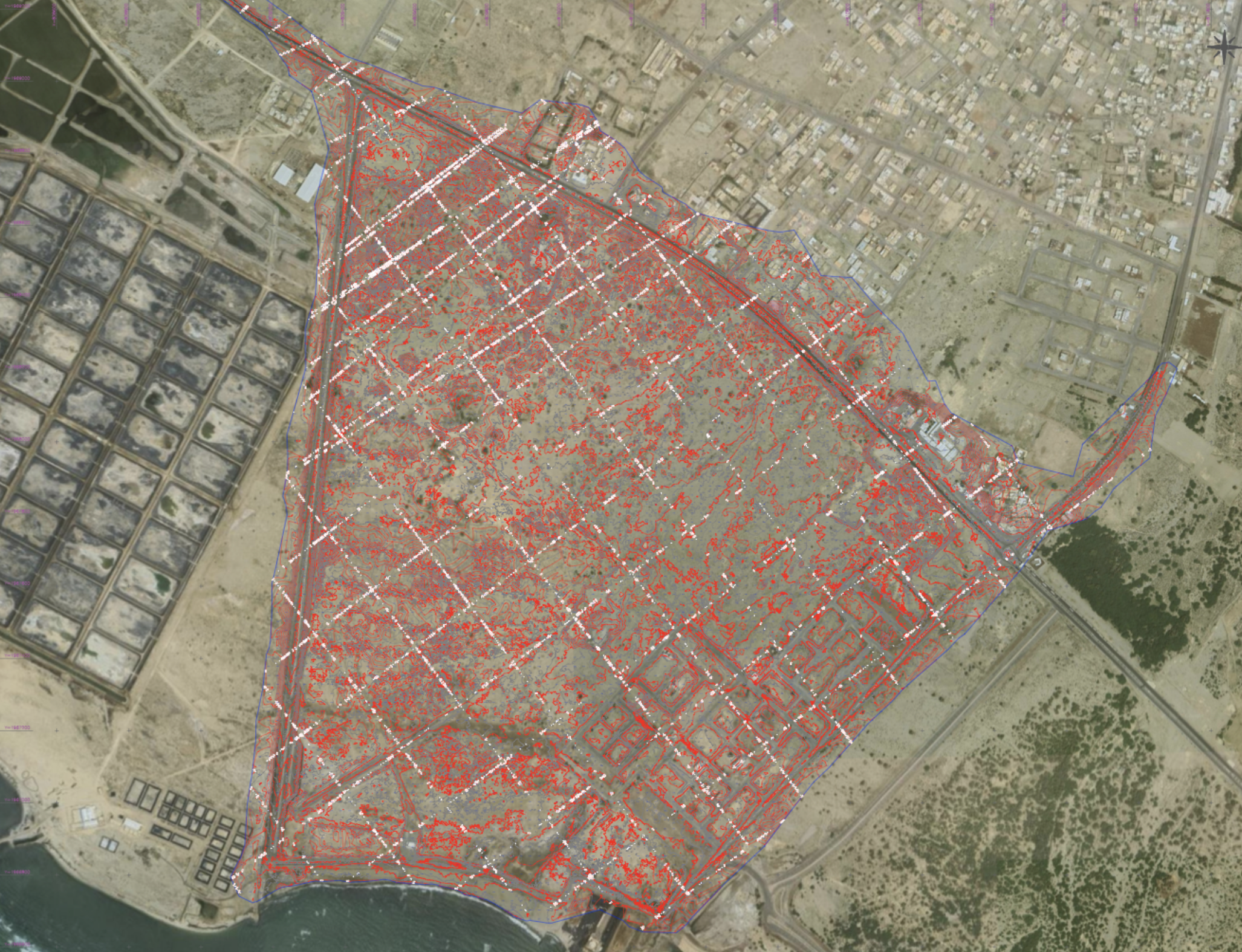
3D CITY MAPPING AND URBAN DATA CAPTURE.

TOPOGRAPHIC AND TERRAIN CAPTURING.